In 2017, CCTV released their first “Aerial China” documentary. A program showcasing China’s stunning landscapes to the world!
The first season received a 9.2 out of 10 on Douban and over 300 million people tuned in to watch!

In the first season of “Aerial China”, there were only six provinces covered; Xinjiang, Hainan, Heilongjiang, Shaanxi, Jiangxi, and Shanghai.
After two years, season two has finally come out! This year features locations stretching even further across China from northwest to southeast including Zhejiang, Fujian, Guangdong, Sichuan, Gansu, Inner Mongolia, and Jiangsu.
Each episode is roughly 50 minutes long using 12 helicopters and more than 70 drones to shoot landscapes in their prime season. “Aerial China” aims to feature parts of China that people may never have seen before showing it’s true beauty.

Let’s take a look back at some amazing shots from season 1.
Hainan

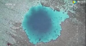
Xinjiang
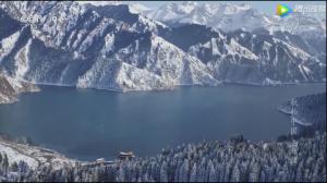
Heilongjiang
The south China sea
A few teasers from season 2!
Sichuan

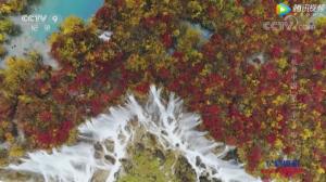

The Mt. Siguniangshan in Sichuan

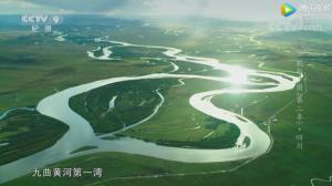
Zhejiang


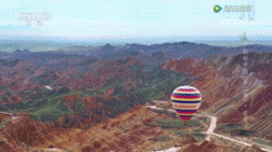
Gansu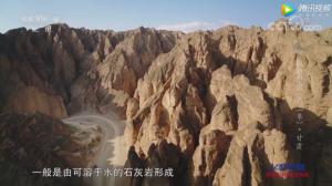
Kongtong mountain
崆峒山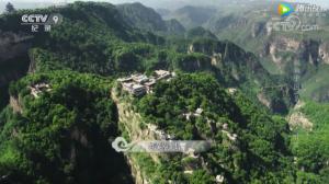
Qilian mountain
祁连山

Inner Mongolia
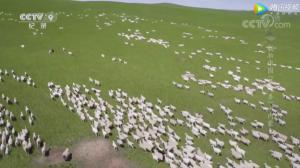
“Aerial China” is a “visual feast” to show China’s landscape!
“Aerial China” has plans to continue covering even more of China with another 3 seasons.
Is there anywhere you think they should cover?
What’s on your bucket list now?
Leave us a comment below!